Hole in the Clouds
Feb 19, 2010
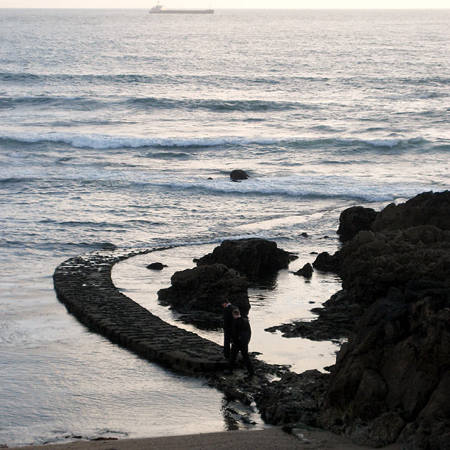
A blogger from Oporto, Portugal, who logs on as JC, posted this picture on (his or her) photoblog, above English-language lyrics to the 1985 Talking Heads song "Road to Nowhere." Below the lyrics, JC added parenthetical "Advice of the Day" in Portuguese, which thanks to the miracle of instant Internet translation I can paraphrase here for y'all: "When you see two Mormons walking into the sea, don't follow them."
Mormons
seascape
Portugal
Porto
(Image credit: JC)
Jun 5, 2011
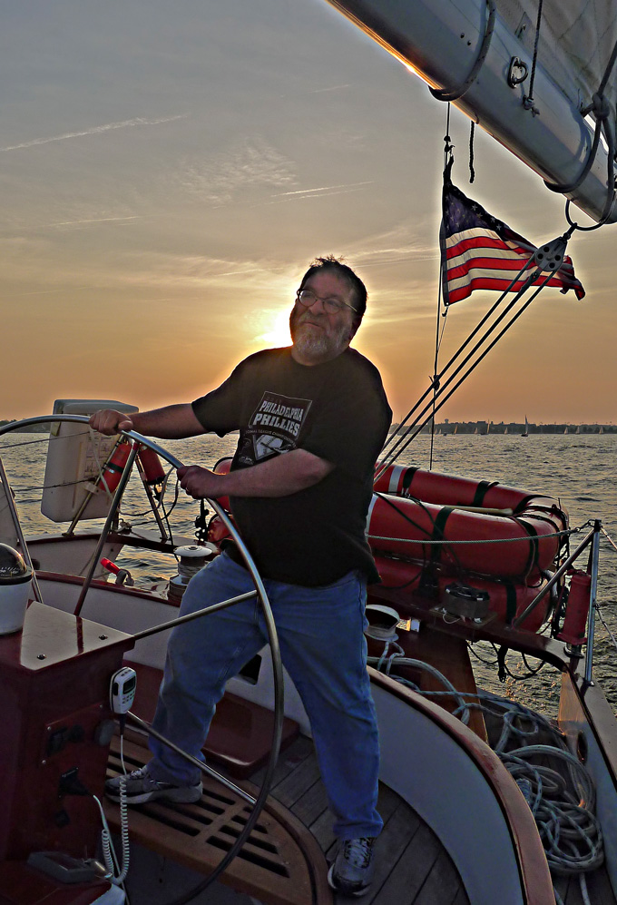 Cap'n Norman takes the helm of the schooner Woodwind last week in the Chesapeake Bay near Annapolis.
As sunset approached, the breeze was perfect for sailboat racing in the Severn River, just off the bay. Woodwind raced her sister ship, Woodwind II, and whupped her.
Annapolis
Maryland
seascape
Chesapeake Bay
sailing
Norman Stein
Aug 3, 2011
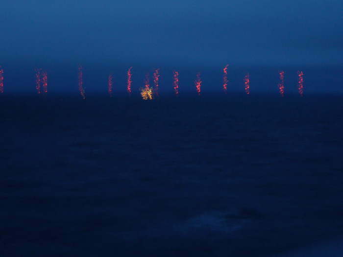 In hopes of maintaining secure communication with its ships and submarines at sea, no matter what, the U.S. Navy maintains arrays of thousand-foot-high Very Low Frequency transmitter towers at three locations around the world. This is the Navy's Cutler array, the largest and most powerful radio installation in the world, with 26 towers located on a peninsula at the edge of the Atlantic Ocean in downeast Maine, near Machias.
Cutler, constructed in 1961, is 100 percent Cold War technology: no GPS, no internet, no cellphone network. The biggest towers in the world were built here because this station services vessels in the Arctic Ocean as well as the Atlantic and Mediterranean, and naturally occuring electromagnetic pulses in the Arctic–the Aurora Borealis–can interfere with all but the most powerful radio signals.
The transmitters here run on power generated on-site and distributed to the towers by underground wiring. Underground wires also extend far offshore under the ocean, to maximize communication with submarines. There are no naval personnel working in Cutler; a civilian crew maintains the site, which sends out encrypted signals generated at a base in Norfolk, Virginia.
Although this shaky picture, which was taken with a handheld camera on a dark and cloudy night, suggests a somewhat haphazard string of towers, they are actually arranged in two identical clusters, which can operate separately or together. Each cluster can be shut down as necessary for maintenance. There's a problem, however, in the part of the installation around the power plant, where the two clusters are so close to one another that the electromagnetic field can be hazardous to humans, even when one of the clusters is shut down.
This area of the installation is called the Bowtie. People doing maintenance try to work as little as possible in the Bowtie, because even if they are working on towers that have been shut down they may still be exposed to dangerous electrical radiation from nearby still-active towers.
Because the Navy requires that at least one of the Cutler clusters must be functioning at all times, the towers in the Bowtie area of the installation have seen little maintenance over the years. In particular, they have never been painted, and they are now fifty years old. The civilians onsite requested a four-month shutdown of the entire array to complete the painting, but the Navy said no.
I predict one of two probable resolutions: either they'll run out of money for the paint job and just let the salt and snow do their thing on the thousand-foot towers, or else they'll redefine the safety standard for electromagnetic radiation so that working in the Bowtie magically becomes safe.
Can you get cellphone service on submarines?
Maine
Navy
night
seascape
water
submarines
Atlantic Ocean
towers
Cutler
Jan 17, 2012
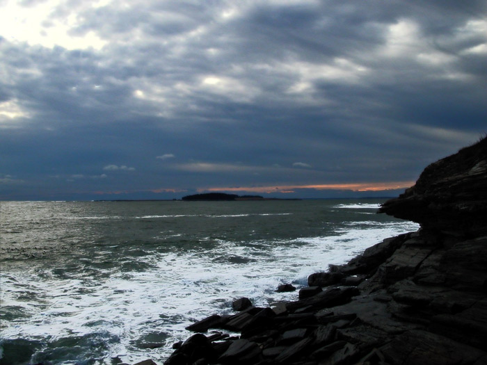 Two winters ago around this time, when this picture was snapped, there was no snow along the southwest coast of Maine, though somehow the color of the water suggested some seriously shivery cold. This year, I understand that there's a bit of snow on the ground in Maine; here in Philadelphia, however, we've had only a flurry or two. It's raining as I type.
This stretch of cliff near Kettle Cove in Cape Elizabeth, Maine, faces south more than east, allowing a glimpse of winter sunset over the water.
landscape
beach
Maine
rocks
sunset
Kettle Cove
seascape
Cape Elizabeth
ocean
cliff
Apr 13, 2012
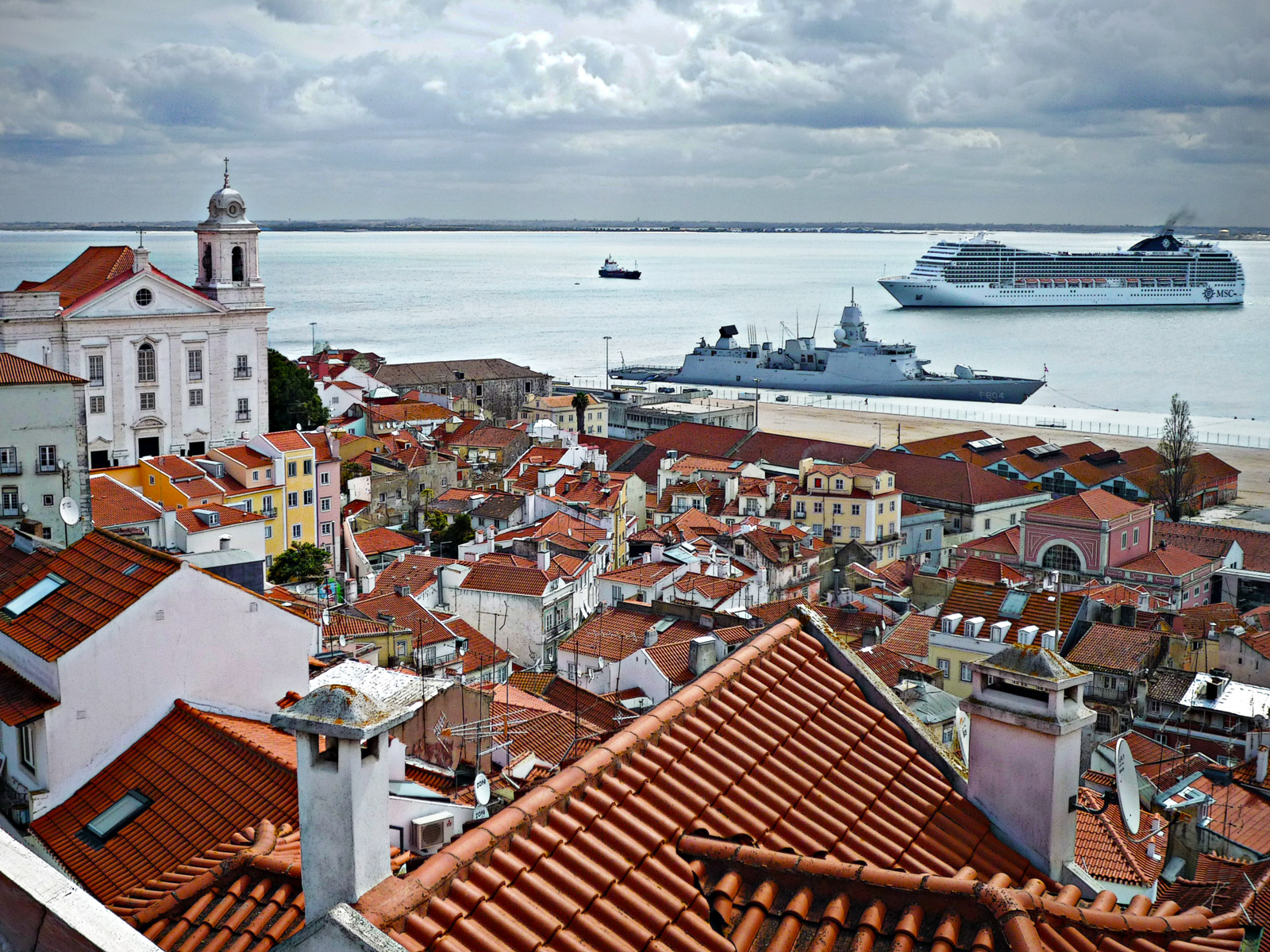 Above the ships at sea and Lisbon's red tile roofs and satellite dishes.
Europe
cityscape
birdseye view
seascape
Portugal
rooftops
Lisbon
ships
(Image credit: K. Maldre)
Jun 3, 2014
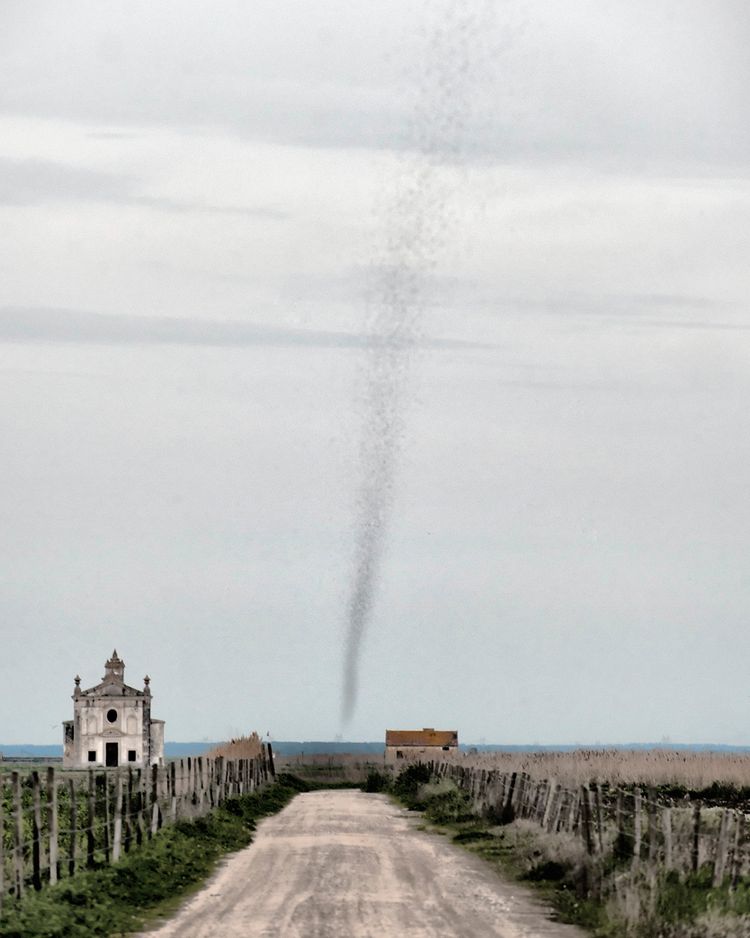 This is the time of year when, in many places, the first springtime crop of mosquitoes takes to the air at once and . . . swarms.
The Alaskan tundra and other Arctic-like regions are notorious for huge dark clouds of skeeters, hovering hungrily and buzzing, whining--call it screaming for blood.
But this photo was taken last week in Portugal, in the salt marshes near Vila Franca de Xira. The swarm affected the shape of a tornado, and perhaps inspired a bit of the fear associated with tornadoes. But it wasn't really a cyclone; the flight pattern of the little bloodsuckers wasn't rotational, just the usual brownian motion within the overall swarm. And the top of the swarm was much closer to the viewer than the bottom, which is why it appears wider.
We are told that outside of the tropics, people don't really die from mosquito bites, even if they get hundreds of bites, as in a serious swarm. They don't die; they just wish they would.
sky
seascape
Portugal
insects
tornado
ocean
marshes
cyclone
mosquitoes
Vila Franca de Xira
(Image credit: Ana Filipa Scarpa)
Aug 14, 2014

Water traffic is all backed up at Seattle's Ballard Locks on a sunny summer afternoon. Fortunately, there are a pair of locks straddling this dam, and even the smaller of the two–the lock shown here–can handle a couple of dozen small craft at a time.
The larger of the Ballard Locks was designed to allow passage by the largest ocean liner in existence, which at that time (1911) was the Lusitania. However, by the time the locks opened to traffic in 1917, the Lusitania had been sunk.
The boats in the photo above are all headed away from the City of Seattle and out toward saltwater; Puget Sound is just beyond the downstream end of the lock. Back upstream are numerous wharves and marinas and a couple of lakes. Although the Port of Seattle that handles today's largest tankers and container ships is accessed directly from the Sound, pleasure craft and smaller ships carrying more than a million tons of cargo still pass through these locks each year, utilizing smaller ports along the Ship Canal, including the homeport of much of the Bering Sea fishing fleet.
Depending on the tides and the water level of the lakes inland, the locks here raise or lower boats about 15 to 30 feet.
seascape
Puget Sound
Seattle
ships
Ballard Locks
boats
Ship Canal
(Image credit: Fuji T)
Jun 10, 2016
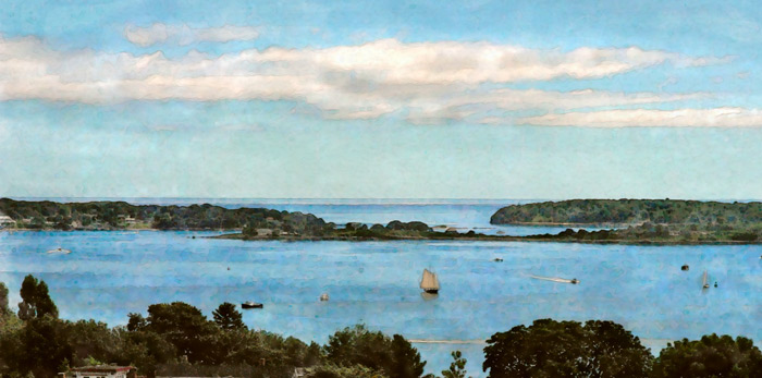 A nice day on Casco Bay, as seen from the Portland Observatory, the city's old maritime signal tower atop Munjoy Hill.
Portland
landscape
Maine
Casco Bay
summer
seascape
boats
islands


 This is the time of year when, in many places, the first springtime crop of mosquitoes takes to the air at once and . . . swarms.
