Philly from Space
Dec 1, 2011
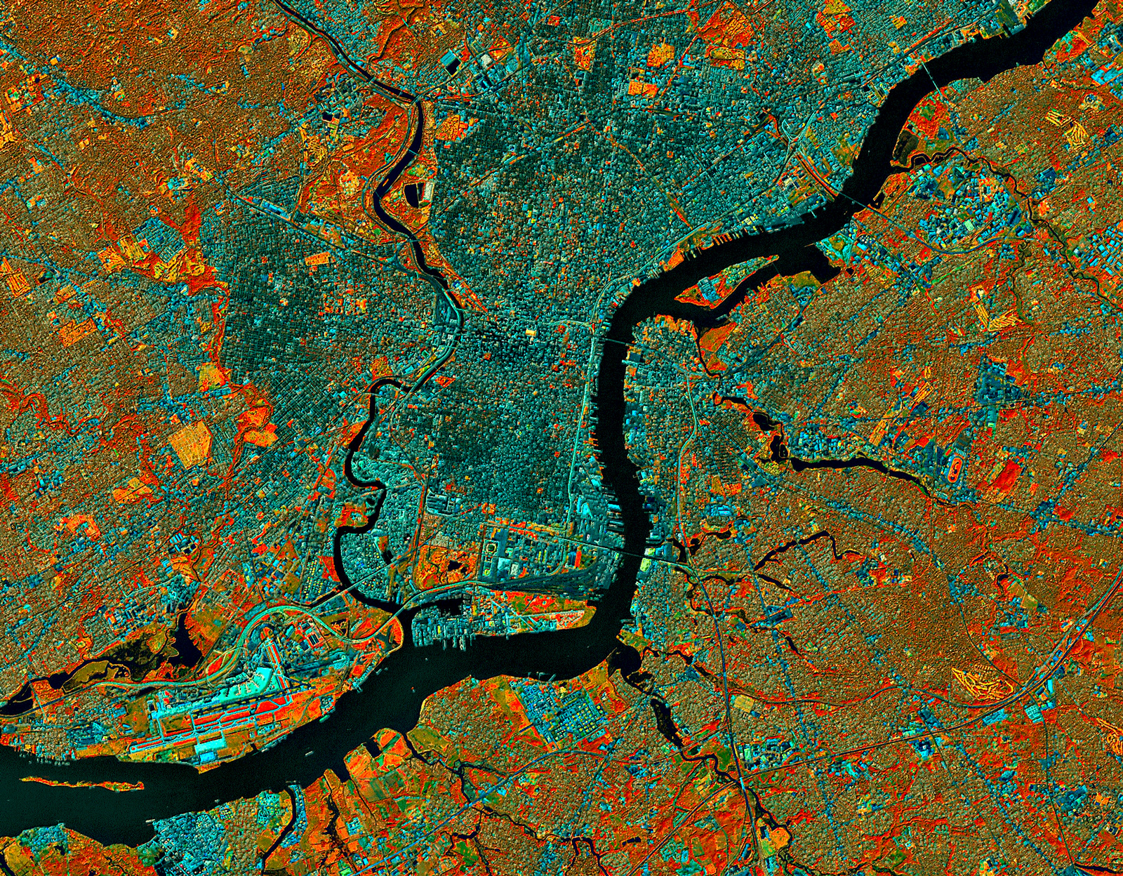 At about 9:30 in the morning on September 23, 1999, the Landsat 7 satellite swooped southward over eastern North America and captured this image of Philadelphia and environs.
Three of the Landsat sensors detected energy in the infrared part of the electromagnetic spectrum, completely invisible to the human eye. Data from these sensors is displayed here, with each of the three infrared bands assigned to one of the normal red-green-blue color bands so we at least have something to look at, even though the colors have nothing to do with normal vision.
Clicking on the picture brings up a bigger version, which shows much more detail.
We can tell right away that the rivers are black; infrared energy is completely absorbed by water, reflecting back nothing for the sensors to detect. And if we look along the river at lower left, we can make out the airport, with runways that are bright cyan in color. This white-to-bluish hue is also the color of roads, railroads, parking lots, and other paved surfaces.
Infrared data is especially useful for studying vegetation, which shows up in this color scheme as red, orange, or yellow. The brightest red patches represent vigorous herbaceous growth, such as healthy cropland in the midst of the growing season. There's little or no farmland in and around Philly, however, so the red patches we see here, such as in between the airport runways, are probably healthy weeds.
Patches of red coloration with a touch of an orange tint and some texture are forested areas, such as in parks or between the fairways of golf courses. Extremely vigorous grass, such as on the golf course fairways themselves, looks bright yellow in this view.
The brownish-to-grayish-to-bluish areas show mixed land cover: Landsat's sensors are averaging out the infrared signals from house roofs, pavement, lawns, shrubs, and trees in varying concentrations. Brownish areas are suburban, with lots of trees and grass; dark green to gray-blue areas are more urban, with a higher ratio of rooftops and pavement to vegetation.
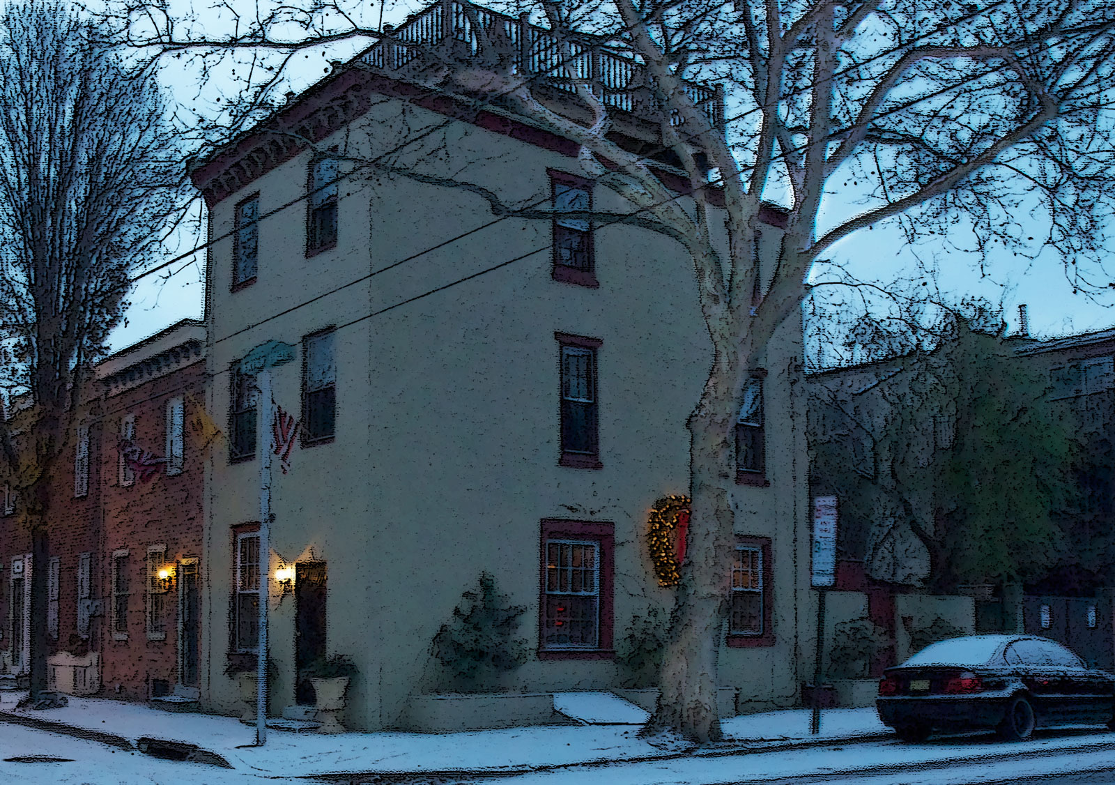
Philadelphia has changed since this image was captured twelve years ago. Another stadium has been built near where the Schuylkill River empties out into the Delaware. In my neighborhood just south of Center City, the forested patch of land near the Schuylkill, which in 1999 was an abandoned and overgrown Old Sailors' Home is now a heavily developed condo complex. Even though the population of Philadelphia has shrunk dramatically over the past half-century and has just barely started growing again, land use patterns as viewed from outer space show ongoing urbanization.